Flood Risk and Commercial Property After Harvey and Imelda: What Buyers Should Check
Few places in the country have been tested by flooding like Southeast Texas. In 2017 Hurricane Harvey set the U.S. record for tropical-cyclone rainfall, with the National Weather Service reporting 60.58 inches near Nederland and 60.54 inches near Groves. Two years later Tropical Storm Imelda dropped 44.29 inches near Fannett, 31 inches of it in 12 hours. The National Hurricane Center’s report on Imelda estimates about 5,100 homes flooded in Jefferson County, with flooding along the I-10 corridor from Winnie through Beaumont, Vidor and Orange.
For a commercial buyer, the lesson isn’t to avoid the region. It’s to do flood due diligence as carefully as you’d review rent rolls or a roof. Here’s what to check.
1. The FEMA flood zone, current and pending
Look up the property on the FEMA Flood Map Service Center, or turn on the flood layers on our property map. The basics:
- Zone A / AE: Special Flood Hazard Area (the “100-year” or 1%-annual-chance floodplain). Federally backed or regulated lenders require flood insurance on buildings here.
- Zone VE: coastal high hazard with wave action, found near the coast in southern Jefferson County.
- Shaded Zone X: 0.2%-annual-chance (500-year) area. Insurance usually isn’t required, but the risk isn’t zero.
- Unshaded Zone X: minimal mapped hazard.
Maps change. Check FEMA’s preliminary flood hazard data for your county; a pending map can move a building into or out of a high-risk zone, which affects insurance cost, lender requirements and future expansion.
2. Actual flood history
A Zone X building may still have flooded in Harvey or Imelda, and many did. Ask for:
- A written statement from the seller on any past flooding and insurance claims. A lot of commercial contracts don’t require this disclosure, so ask for it specifically.
- The NFIP claims history if the owner has had a policy. The owner can request it from their insurer.
- Evidence of past repairs: new drywall at a uniform height, replaced flooring, newer HVAC units. A good property inspector will spot these.
- Talk to neighbors and tenants. They usually remember where water came up in 2017 and 2019.
3. Elevation
An elevation certificate (EC) records a building’s lowest floor elevation and other details, prepared by a licensed surveyor or engineer. Under FEMA’s current pricing system, Risk Rating 2.0, an EC is no longer required to rate most policies, but an owner can still submit one and it may lower the premium. Ask the seller whether one exists. If not, and the building is in or near a floodplain, it may be worth ordering one during your feasibility period. It will also be needed if you later plan to improve or expand the building, because substantial improvements in a floodplain must meet the community’s elevation rules.
4. Flood insurance: limits and timing
- NFIP limits. The National Flood Insurance Program offers commercial buildings up to $500,000 of building coverage and up to $500,000 of contents coverage. For larger buildings, or to insure business interruption (which NFIP doesn’t cover), you’ll need private or excess flood coverage.
- Waiting period. New NFIP policies generally take effect 30 days after purchase, with exceptions such as a policy bought in connection with a loan closing. Don’t wait until the week of closing to get quotes.
- Get a real quote early. Insurance premiums are now a major operating expense on the Gulf Coast. Get flood and wind quotes during your option period and plug them into your underwriting, not last year’s figures from the seller.
- Policy assignment. An existing NFIP policy can often be assigned to a buyer. Ask your agent whether it would be cheaper than a new policy.
5. Drainage districts and local rules
Jefferson County is served by drainage districts that build and maintain the ditches, detention basins and pump stations that move water out. Drainage District No. 6 covers the northern part of the county, including Beaumont, Bevil Oaks, China and Nome, and maintains more than 1,070 miles of streams, channels and outfalls plus 38 detention basins. Drainage District No. 7 serves the Port Arthur area and is the non-federal partner of the U.S. Army Corps of Engineers on its Port Arthur project.
What that means for a buyer:
- Districts levy their own property tax, which shows up in your tax bill and, for NNN leases, in what tenants pay.
- New development or added impervious cover may require a district permit and on-site detention. That affects how much of a lot you can actually build on.
- Check the district’s project list to see whether drainage improvements are planned near the property.
In Hardin County, floodplain development outside cities is governed by the county’s floodplain order; cities such as Beaumont, Lumberton and Silsbee administer their own floodplain ordinances.
6. Physical resilience
When you tour, look at site grading and where water would go, finished floor height compared to the parking lot and street, the location of electrical panels and HVAC equipment, and whether the building has been flood-proofed. For industrial buildings, ask whether docks and equipment pits have flooded. A building that floods once and reopens in two weeks is very different from one that was closed for six months.
7. Lease and lender implications
If you’re buying an investment property, read each lease’s casualty clause: who restores after a flood, how long the landlord has, and whether tenants can terminate. Find out whether tenants are required to carry their own contents and business-interruption coverage. Lenders will require flood insurance for buildings in a Special Flood Hazard Area and will run their own flood determination, so get that early too.
The bottom line
Flood risk in Southeast Texas is a pricing and planning question, not automatically a deal-breaker. Plenty of well-sited buildings came through Harvey and Imelda dry, and plenty of affected buildings were rebuilt higher and better. The goal is to know which kind you’re buying before you’re committed.
Our property map shows FEMA flood zones, wetlands and water and drainage district boundaries for any parcel, and every listing on this site includes location and area details you can review before scheduling a tour.
This article is general information, not legal, insurance or tax advice. Consult a licensed insurance agent, surveyor and attorney about a specific property.
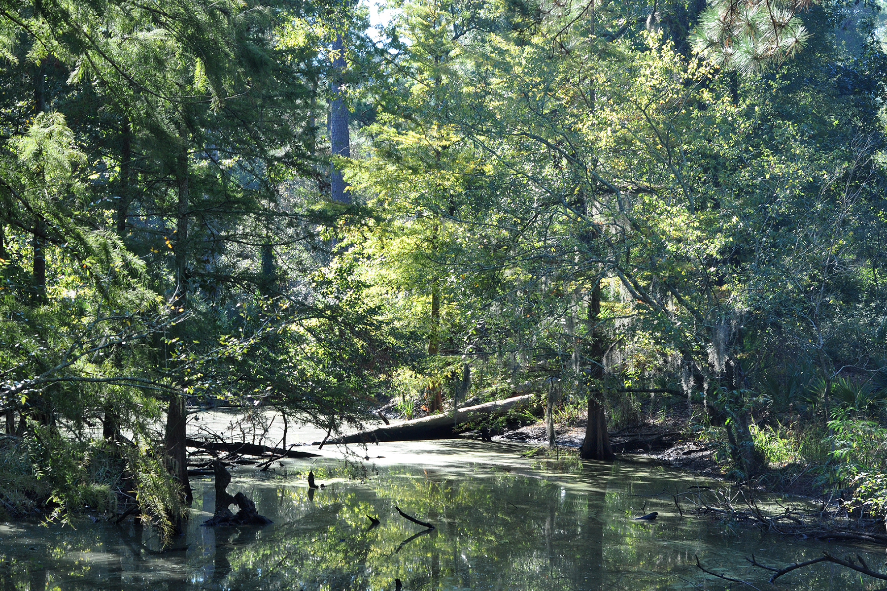
Header photo: Little Pine Island Bayou, Big Thicket National Preserve, Hardin County, Texas by William L. Farr, licensed CC BY 4.0, via Wikimedia Commons.