Buying Land in Hardin, Jefferson or Orange County: A Due Diligence Checklist
Raw land in Hardin, Jefferson and Orange counties can look simple: a price per acre, a road and some trees. Most of the risk is in what you can’t see from the road: a flood zone, wetlands, a pipeline easement, no water provider, or a rollback tax bill that lands after closing. Below is the checklist we work through on land deals in Southeast Texas. Use it alongside your title company, surveyor and attorney.
1. Flood zone and drainage
Start with the FEMA flood zone. Search the address or coordinates on the FEMA Flood Map Service Center, or turn on the flood layer on our property map. Zones A and AE are Special Flood Hazard Areas: lenders will require flood insurance on insured structures there, and the county or city will require new buildings to be elevated.
- Check for pending map changes on FEMA’s preliminary flood hazard data page. A tract shown as Zone X today could be redrawn.
- The map isn’t the whole story here. Tropical Storm Imelda in 2019 dropped 44.29 inches of rain near Fannett, and the National Hurricane Center reported river and bayou flooding in Hardin County lasting for days. Ask the seller and neighbors whether the tract held water, and look at the land after a heavy rain if you can.
- Find out who handles drainage. In northern Jefferson County that is Jefferson County Drainage District No. 6; around Port Arthur it is Drainage District No. 7. Districts can require permits for work that affects their ditches and may levy their own tax.
2. Wetlands
A lot of land in this part of Texas, including bottomland along the Neches, Pine Island Bayou and Village Creek, contains wetlands. Filling or grading jurisdictional wetlands generally requires a Section 404 permit from the U.S. Army Corps of Engineers; this area falls under the Galveston District.
- For a first look, check the U.S. Fish & Wildlife Service National Wetlands Inventory mapper. It’s a screening tool, not a legal determination.
- If you plan to develop, budget for a wetland delineation by an environmental consultant and, if needed, a jurisdictional determination from the Corps before you close or before your feasibility period ends.
3. Survey
Order a current boundary survey from a Registered Professional Land Surveyor. It should show the acreage, boundary lines, easements listed in the title commitment, encroachments, road frontage and, if you ask, the flood zone line. Many rural tracts here were described by old metes and bounds or by “more or less” acreage, so a new survey often changes the acreage, and with it the price if you’re paying per acre. Agree in the contract whether price adjusts to the surveyed acreage.
4. Title, easements and minerals
- Get a title commitment early and read Schedule B (the exceptions). In Southeast Texas you’ll often see pipeline, power line and drainage easements. Pipelines limit where you can build and what you can put over them. The Railroad Commission’s public GIS viewer shows many pipelines and wells.
- Mineral rights are frequently severed from the surface in Texas. Find out what you’re actually buying, whether there are existing leases, and whether any surface-use protections exist.
- Look for deed restrictions. Outside city limits they are often the only land-use limits, and they can block commercial use, mobile homes or subdividing.
5. Access
Confirm the tract has legal, recorded access to a public road, not just a dirt lane a neighbor has always allowed. If the land fronts a state highway and you’ll need a new driveway, that requires a TxDOT driveway permit (Form 1058) through the Beaumont District, and spacing rules may limit where it can go. County roads may have their own culvert and driveway requirements.
6. Water, sewer and power
- Water and sewer provider. Retail water and sewer service areas are set by Certificates of Convenience and Necessity (CCNs). Look up the provider on the Public Utility Commission’s Water and Sewer CCN Viewer, then call the provider to ask whether a line and capacity are actually available at your tract and what a tap or line extension costs. Being inside a CCN doesn’t mean a pipe is at your property line.
- Septic. Without sewer you’ll need an on-site sewage facility (septic) permit. The TCEQ sets the rules, and the county or city usually issues permits as TCEQ’s authorized agent. Heavy clay soils common here can mean an aerobic system, which costs more. Soil maps from USDA’s Web Soil Survey give a first indication.
- Electricity. Check whether Entergy Texas or an electric cooperative serves the tract and how far the nearest line is. Line extensions on rural land can be expensive.
7. Ag or timber valuation and rollback taxes
Much rural land here is taxed on agricultural, timber or wildlife-management productivity value rather than market value. That keeps annual taxes low, but if the land changes to a non-qualifying use (for example, you build a commercial building or subdivide for homes), Texas imposes a rollback tax. Under Tax Code Section 23.55, the rollback for 1-d-1 open-space land equals the difference between the taxes paid and the taxes that would have been due at market value for each of the three years preceding the change in use. A 2021 change in state law (HB 3833) removed the interest that used to be added to these rollbacks.
- Ask the seller for the current valuation type and look up the account on the appraisal district site (Hardin CAD, Jefferson CAD or Orange CAD).
- Negotiate who pays any rollback in the contract. If you plan to keep the land in agricultural or timber use, you’ll typically need to file a new application with the appraisal district. The Comptroller explains the qualifying rules on its ag and timber appraisal page.
8. Land use rules: city, ETJ or county
Inside a city like Beaumont, Lumberton or Silsbee, zoning controls what you can build. Outside city limits, Texas counties have no general zoning authority, but they do regulate subdivision platting, floodplain development and septic systems. If you plan to split the tract, read the county’s subdivision rules first; Hardin County, for example, publishes a subdivision manual.
9. Environmental history
For any tract you’ll develop for commercial use, and for any land with past industrial, oil field or dumping activity, a Phase I Environmental Site Assessment is standard. Lenders usually require one on commercial loans.
10. Build the checklist into the contract
Most of these items take time. Make sure your contract gives you a feasibility (option) period long enough to get the survey, title commitment, utility letters and any environmental work done, with the right to terminate if something doesn’t check out.
You can browse land listings or open the property map to check flood zones, wetlands, soils, pipelines and utility providers for a specific parcel before you make an offer.
This article is general information, not legal or tax advice. Consult a qualified attorney, surveyor and tax professional before buying land.
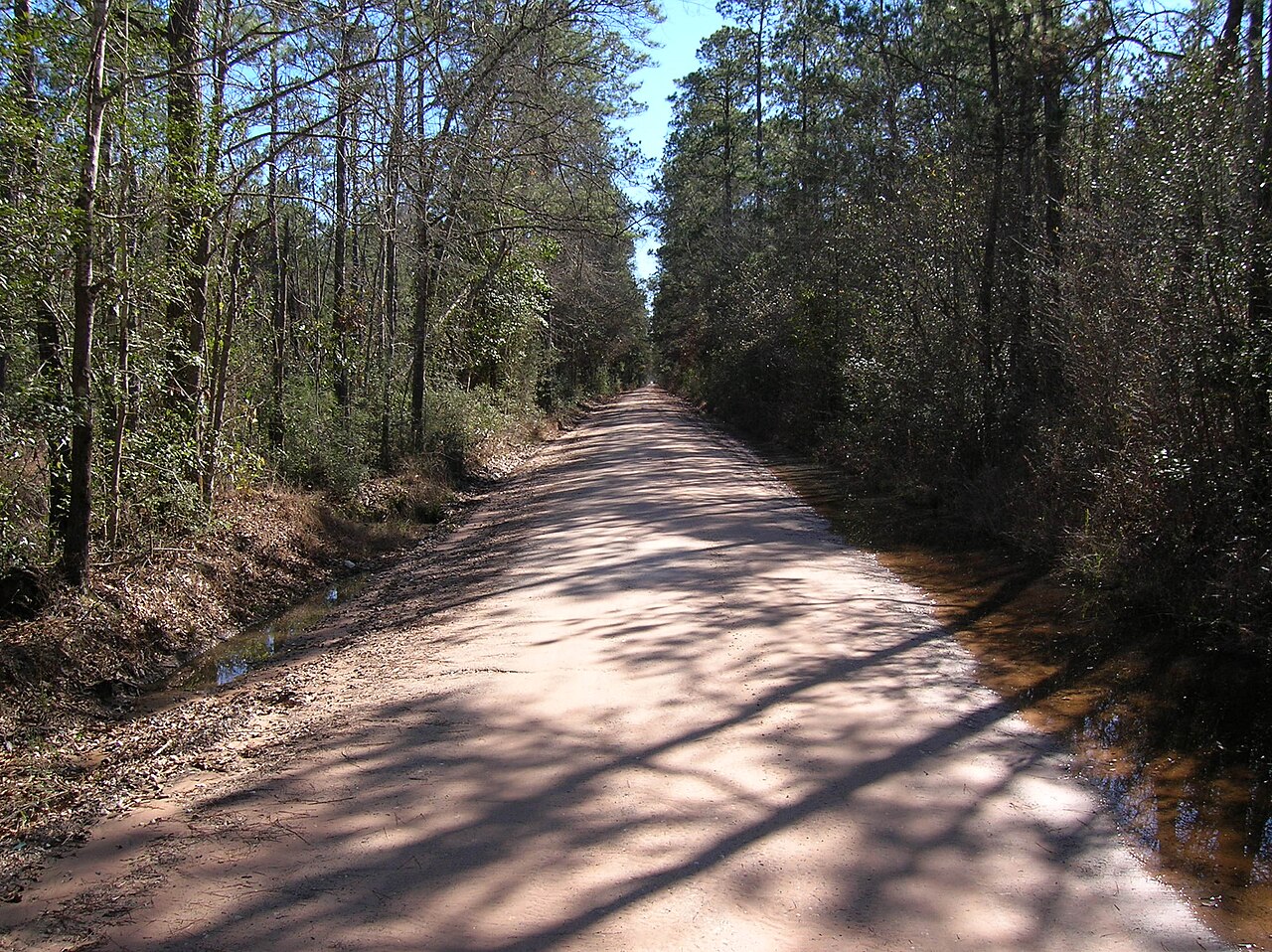
Header photo: Bragg Road Hardin County Texas by Junglecat, licensed CC BY-SA 4.0, via Wikimedia Commons.