
31.78-Acre Commercial / Industrial Tract – I-45 & Hwy 75, Willis
14350 TX-75, Willis, TX 77378 View map
- Price
- $11,420,780
- Lot
- 31.78 AC
- Type
- Land
Overview
For sale: 31.780 acres zoned Commercial Industrial by the City of Willis (permits General Commercial and General Industrial uses), spanning from Interstate 45 to Hwy 75. This 31.780-acre Commercial Industrial tract offers over 2,250 ft of combined highway frontage, full commercial/industrial entitlements, and infrastructure already in place. With prime visibility on I-45 and Hwy 75, strong traffic counts, and site readiness, it is an ideal candidate for retail power centers, hospitality projects, distribution hubs, industrial parks, or residential communities through rezoning.
Highlights
- Priced at .25/SF of land (1,384,337 SF)
- Dual-zoned flexibility – allows the full range of commercial and industrial uses
- ±1,235 ft of Interstate 45 frontage and ±1,020 ft of Hwy 75 frontage – unmatched visibility and branding potential
- 2024 Traffic Counts:I-45: 68,392 vehicles per day
- Hwy 75: 6,144 vehicles per day
- 31.780 acres within Willis city limits, strategically spanning from I-45 to Hwy 75
- Property is 100% cleared and rough graded for drainage
- Detention pond and drainage improvements in place with outfall and overflow structures
- Dedicated turning lane off Hwy 75 for direct access
- Located in a high-growth Montgomery County corridor with strong residential, commercial, and industrial expansion
Property details
- Property type
- Land
- Transaction
- For Sale
- Status
- Available
- Sale price
- $11,420,780
- Lot size
- 31.78 acres
- Zoning
- Commercial Industrial (City of Willis)
- Frontage
- ±1,235 ft on I-45 and ±1,020 ft on Hwy 75
- Traffic count
- I-45: 68,392 VPD; Hwy 75: 6,144 VPD (2024)
- County
- Montgomery
Location
14350 TX-75, Willis, TX 77378
Demographics
| 1 mile | 3 miles | 5 miles | |
|---|---|---|---|
| Population | 4,075 | 14,156 | 34,732 |
| Households | 1,703 | 5,281 | 12,626 |
| Median household income | $71,500 | $69,200 | $81,300 |
| Average household income | $104,400 | $87,500 | $102,800 |
| Median age (approx.) | 35.4 | 35.5 | 39.8 |
| Employed residents (16+) | 2,149 | 6,621 | 15,514 |
Source: U.S. Census Bureau, ACS 5-year estimates (2020-2024). Rings count whole block groups whose centre falls inside the radius; figures are estimates with margins of error.
Nearby national & regional brands
Within 1 mile (1)
 Pizza Hut0.9 mi
1–3 miles (25)
 Kroger1.8 mi
 Tractor Supply Company1.7 mi
 Walgreens1.9 mi
 CVS Pharmacy2.0 mi
 Panda Express1.6 mi
 Whataburger1.6 mi
 Schlotzsky's1.7 mi
 Starbucks1.7 mi
 Jack in the Box1.8 mi
 Taco Bell1.8 mi
 Sonic1.8 mi
 Popeyes1.8 mi
 Burger King1.9 mi
 Papa John's1.9 mi
 McDonald's1.9 mi
 Chick-fil-A1.9 mi
- Church's ChickenChurch's Chicken2.0 mi
 Wells Fargo1.8 mi
- + 7 more
3–5 miles (0)
Brand locations © OpenStreetMap contributors (ODbL), straight-line distance. Logos via Wikimedia Commons. OpenStreetMap coverage is incomplete; verify on site. Logos and names are trademarks of their owners, shown only to identify nearby businesses; no affiliation or endorsement is implied.
Crime around this property
Block-level crime estimates by DoorProfit (reported incidents where the city publishes them, modelled from public statistics elsewhere). For general reference only.
More properties from Brand Realty
View all properties →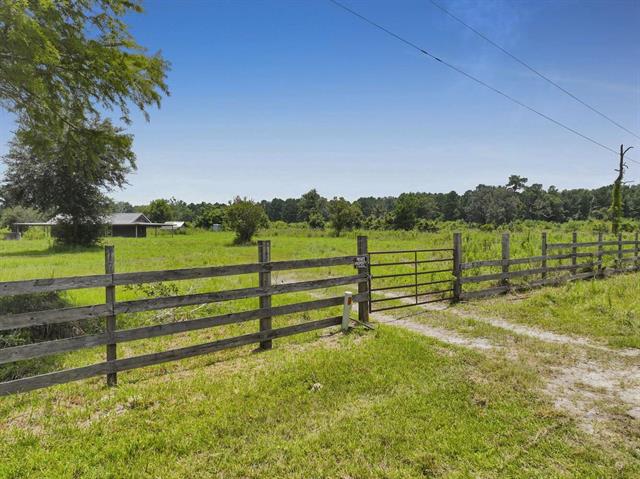
Bunker Hill Ranch – 82 Acres with Cabin, Buna
386 CR 784, Buna, TX
Land · 82 AC
Sale price: $984,000
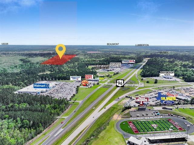
90.42-Acre Timber & Recreational Tract – Gentry Dr, Silsbee
2000 Block Gentry Dr., Silsbee, TX
Land · 90.42 AC
Sale price: $375,000
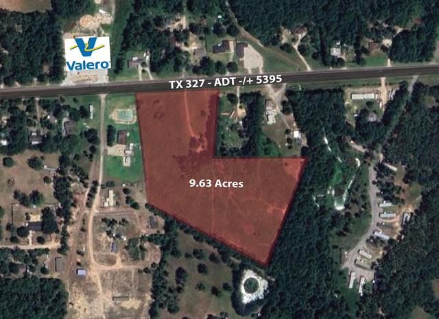
9.63 Acres with Highway Frontage – TX-327, Silsbee
2000 Block TX 327, Silsbee, TX
Land · 9.63 AC
Sale price: $350,000
Information is believed reliable but is not guaranteed and should be independently verified. Price, terms and availability may change without notice.